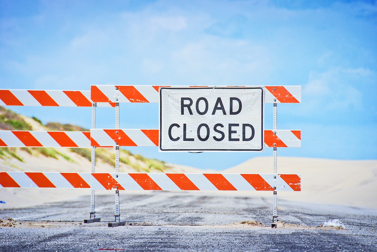
Some regions of Earth are hard to reach because of their remoteness, others because of the harsh climate, and still others because of the scary political climate. We’ve rounded up ten places you’re unlikely to go after the pandemic is over, though you might pick up a few ideas for future trips.
Turkmenistan
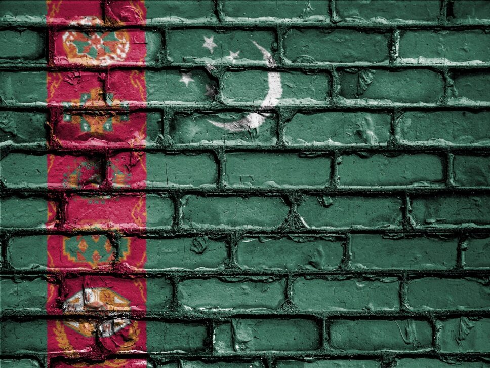
An absolutely amazing country with its own special world. Here, the clearly narcissistic rulers erect gold monuments for themselves, write instructive books on all aspects of life, make music videos for their own songs, and deny the presence of the coronavirus in the country. In general, it is like North Korea, with the difference that it is easier to visit North Korea as a tourist – you just need to buy an official tour.
This scheme will not work with Turkmenistan. There are tour operators and tourist visa, but almost no one can get it. This story is not about specific countries, like that conditional Syrian hardly get in conditional USA – Turkmen equalize all and refuse regardless of citizenship. Turkmen President Gurbanguly Berdymukhamedov, a name difficult to pronounce, decided to limit contacts of his subjects with the outside world and does not allow foreigners into the country. By the way, it is also quite difficult for Turkmens to go abroad.
Ascension Island
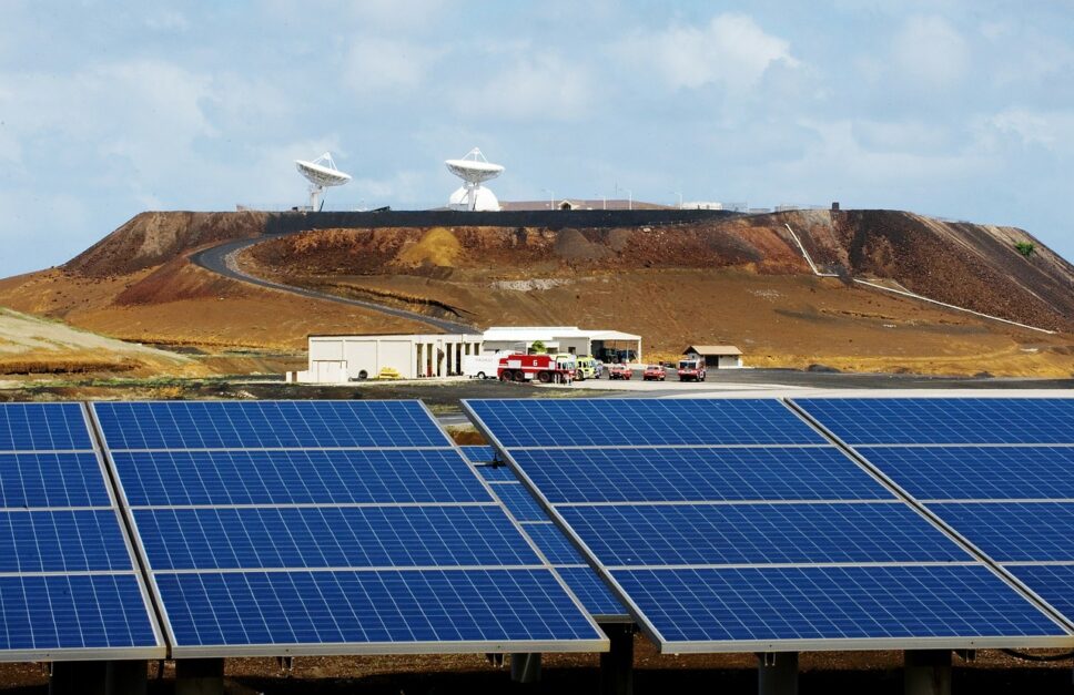
A volcanic island in the South Atlantic. It is part of one of the British Overseas Territories, which are islands scattered all over the globe that are subject to British sovereignty but are not part of Britain. For example, the laws here may be local, but they are sentenced by British judges, who come here from Europe on purpose from time to time. In addition to the British pound sterling, the local currency is the currency of payment and the army of the United Kingdom must defend this piece of land from enemies.
Visa policy here is also different from the British, and Turkmen ideas of equality have not taken root here – citizens of some countries can get here by applying for an electronic visa, while for others entry to the island is simply prohibited by local laws. Among the latter are Belarus, Russia and Ukraine. Black List is small – only 13 states, but the company of three post-Soviet republics picked up a good one: Vietnam, Hong Kong, Egypt, Iran, China, Libya, Macau, North Korea, Syria and Taiwan.
The fact is that there is a British-American military base on the island, as well as a British-American radio-electronic reconnaissance station, a GPS antenna, laboratories, NASA and the European Space Agency. Before the turn of the century there was no tourism here in principle, although it was rather due to the inaccessibility of the island.
Tourists whose passports do not arouse suspicion usually arrive on the island during Atlantic cruises. If the waves allow you to dock the island by boat, you can go ashore and see the few local attractions: birds, turtles, colonial architecture and “the world’s worst golf course” – so at one time even the official website of the island called a site studded with volcanic sand with holes without a single blade of grass.
Gaza Strip
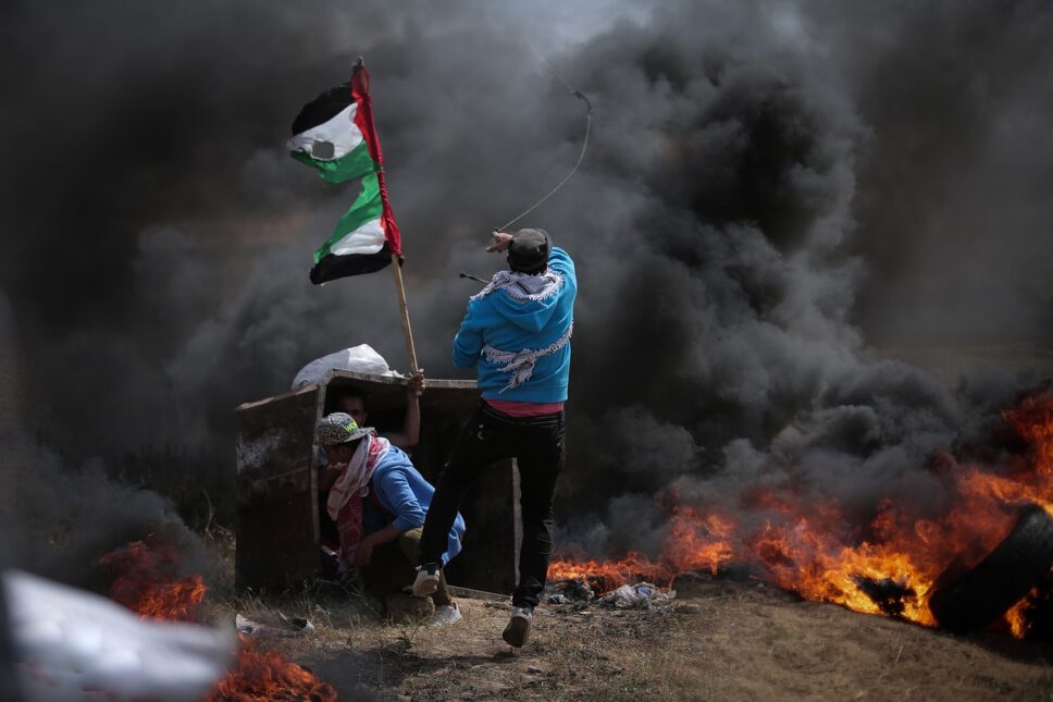
The Palestinian state consists of two enclaves: the West Bank and the Gaza Strip. A lot of tourists go to the first one to visit biblical sites, look at Banksy’s graffiti, taste Levantine cuisine. The second is a narrow strip of land about 40 by 10 kilometers, sandwiched between Israel, Egypt and the Mediterranean Sea. There is not even such a thing as a visit for the purpose of tourism. To enter here – as well as to leave – is not the most trivial task. The authors of the Lonely Planet backpacker’s bible honestly admit that they couldn’t get there either, and recommend their readers not to even try, citing the difficult military situation.
Until 2005, the situation in the Gaza Strip was about the same as in the West Bank: the Jewish settlements were controlled by Israel and the rest by the Palestinian Authority. Local Arabs even regularly went to Israel to work. There were hardly any tourists in Gaza in those years, but that could be explained by the insecurity of the region. In 2005, the Israeli army and its citizens abandoned the Gaza Strip – even graves from Jewish cemeteries were removed so that the Arabs would not desecrate them. The following year, the Islamic fundamentalists won local elections and a year later, in a civil war, they took full power in the Gaza Strip. The Islamists began to attack Israeli territories, and Israel, together with Egypt, set up a complete blockade of the Gaza Strip – by land, sea and air.
For foreigners, this means obtaining permits not only from the authorities in Gaza itself, but also from their neighbors – Israel or Egypt, depending on which side you want to enter. But it is mainly issued only to journalists, diplomats and humanitarian missions.
North Sentinel Island
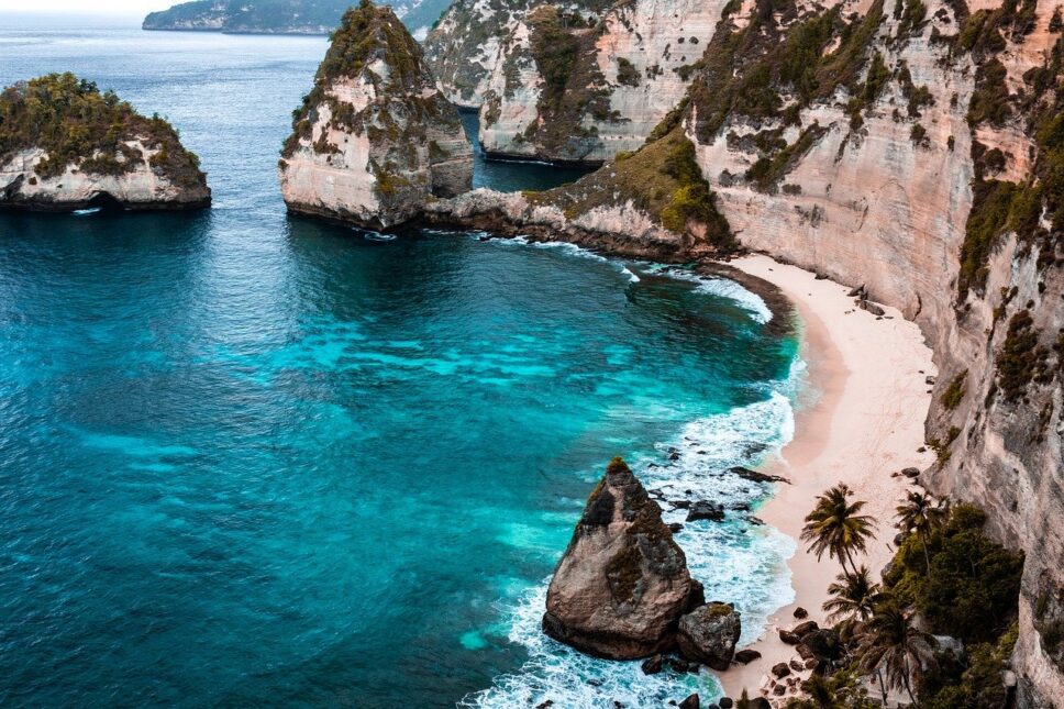
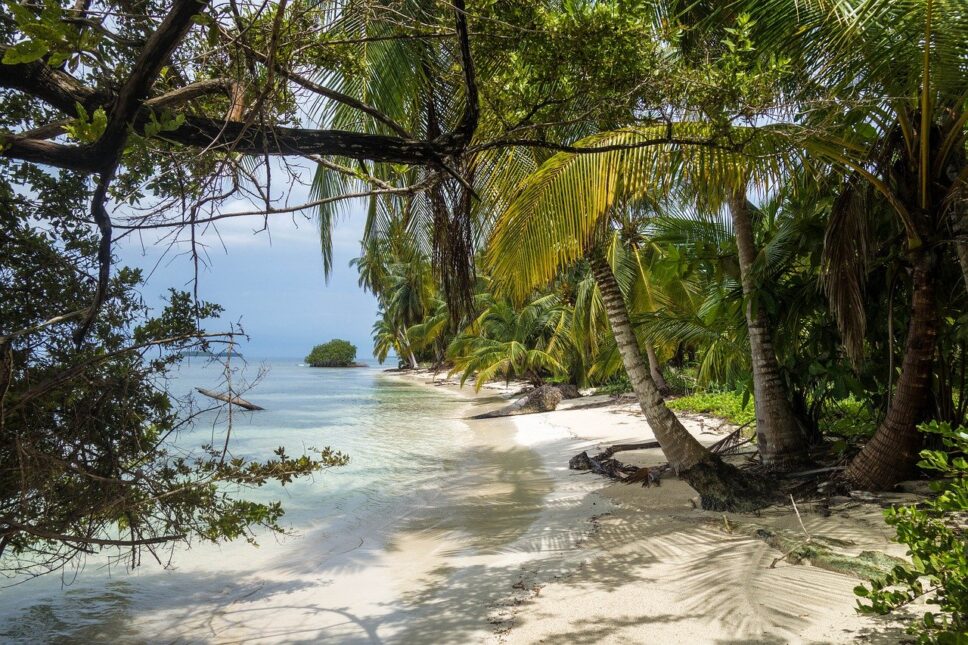
One of the Andaman Islands in the Bay of Bengal, which are governed by the Indian authorities. This archipelago consists of nearly six hundred islands, of which fewer than forty are inhabited. It is a sunny paradise with jungle and bounty beaches, but only a couple of dozen islands are open to foreigners, and about the same number can be visited during the day without overnight stay.
The Andaman and neighboring Nicobar Islands are known for the fact that several indigenous peoples still live there. Most of them are no longer non-contact and have already begun to come into contact with our civilization, little by little taking from it all the good and bad: medical care, clothing, food, the destruction of traditional lifestyles, alcohol, tobacco, disease and even children conceived from outsiders. To prevent this process, Indian authorities set up reservations in areas where aborigines live compactly and restrict traffic in these areas.
The North Sentinel Island stands out here. First of all, it is a little away from the main archipelago, and secondly – the local guys are so aggressive to the newcomers, that as a result it has saved them. In the ’70s, they attacked documentary filmmakers who were shooting a film on the island for National Geographic. In 2004, when Indian authorities were surveying the island from the air to assess the impact of the tsunami, the Sentinels shot at the helicopter with bows. The first peaceful contact didn’t occur until the ’90s, after longtime explorers brought the islanders coconuts and ironmongery that don’t exist on the island as gifts. Now even the number of Sentinels is not known precisely – the population of the island is estimated between 50 and 150 people.
They are considered direct descendants of the natives of Africa, who lived here for about 60 thousand years. To protect the Sentinelese from the ravages of civilization, the Indian authorities have prohibited access to the island closer than five nautical miles. The Coast Guard monitors compliance with this law. However, violators are usually punished by the islanders themselves. In 2006, the Sentinels shot with an arrow two fishermen who approached the island. The bodies of those killed were never recovered. And in 2018, an American who allegedly wanted to preach Christianity to the natives sneaked in. He paid Indian fishermen to bring him to the island, and two days later the fishermen saw the natives on the beach burying a body that looked just like the American.
Chagos Islands
These atolls are difficult to access, not only for foreigners, but also for locals. The Chagos Archipelago is located 700 kilometers south of the Maldives, about midway between Tanzania and Indonesia. Like Ascension Island, the archipelago belongs to the British Overseas Territories, and the official name of the islands is the British Indian Ocean Territory. This is de facto. But de jure, according to the UN decision, Chagos must belong to Mauritius.
The island of Mauritius and the Chagos Archipelago were uninhabited, but they always passed from colonizer to colonizer in pairs. First they were both discovered by the Portuguese. Then Mauritius was settled by the Dutch, who were succeeded by the French, who also received Chagos as a bonus. Under the French in the 18th century, the first permanent residents appeared on Chagos. They were African slaves and Indian wage laborers who came to work on the coconut plantations. In the early 19th century, Britain invaded Mauritius and received Chagos as a burden.
In the late 60’s and early 70’s, the British began to build a joint military base here with the Americans, and all the inhabitants – about 2 thousand people – were deported to Mauritius. Now the entire population of the archipelago is military and base personnel. Naturally, there is no regular transport or even cruise ships, and if you suddenly want to sunbathe on the snow-white beaches of Chagos, you have to get permission to travel, and then even get on a private boat from the Maldives.
Sahrawi Arab Democratic Republic
The piece of Africa that is signed on our maps as “Western Sahara” de facto belongs to three states: most of it was annexed by Morocco, a small cape in the south is controlled by Mauritania, and the narrow strip of land that stretches across the desert from Algeria to the ocean along the entire Mauritanian-Western Sahara border is the Sahrawi Arab Democratic Republic.
Getting into the Moroccan part of Western Sahara is not difficult: de jure you do not leave the territory of Morocco, the border is not marked in any way, and no one checks passports. Morocco’s Western Sahara is not as popular as Morocco itself, but people even come here to surf. There is a lot of state propaganda and a lot of police and intelligence attention to foreigners – many suspect journalists. The Moroccans annexed the territory in 1975, and there are still strong ideas of independence. The Moorish slice can even be entered on foot from the nearby town of Nouadhibou – if not prevented by an overly vigilant military patrol.
But getting into the territory of the independent SADR is much more difficult. You can’t get in from the Moroccan side. In addition to the fact that the sides are still in a de jure state of war, Morocco has built a so-called “wall” along the front line – a sand-and-stone embankment about three meters high, along which there are minefields, barbed wire, sensor systems and military posts. The total length of the fortifications is more than 2.5 thousand kilometers. They are called the largest minefield on the planet.
Theoretically, it would be possible to enter here from Algeria, but getting an Algerian visa and permission to move freely in the desert is a real challenge. The easiest option is to travel from Mauritania. All you have to do is find a vehicle, preferably with a local driver to know where the road is and where it is a minefield.
In addition, you will need to get permission from the SADR authorities, who may not understand your tourist intentions. Although tourism does exist there – organized charitable tours, thanks to which you can not only get acquainted with the culture of the locals, but also help them with money.
Nominally, one can enter the SADR on the road from Mauritania to the Moroccan part of the Western Sahara. Here the SADR authorities own a piece of desert, which on Google maps is signed with the poetic “No Man’s Land. There are no roads or any other infrastructure. There is trash everywhere, from plastic bottles and old appliances to car wrecks. At one time there was even a hut with a SADR flag on it – probably empty. That was the end of any sign of state power. Some people consider crossing this strip a full-fledged visit to the country, but of course this is totally unsportsmanlike.
Somalia
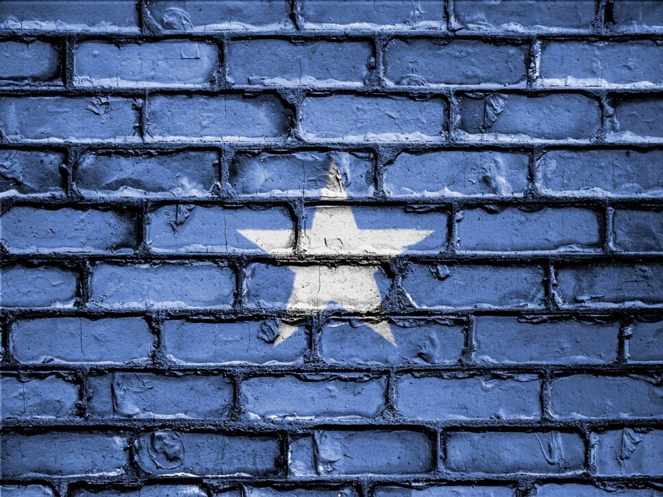
A country that has been at war for almost thirty-five years, tied up in all sorts of clan and religious contradictions. Today, Somalia is actually several separate states, but even in the territory that the government controls, the power is so weak that various barmales regularly bomb and kidnap people.
Flying into the Somali capital of Mogadishu and obtaining a visa is quite easy. But for a foreigner, a simple stroll through the city is almost guaranteed to lead to capture by some rabid bearded men. In fact, without security, they’re not even likely to let you out of the airport. Foreign citizens live in a separate area of the city, guarded by soldiers and surrounded by concrete blocks in case of suicide attacks in cars. They enter the city only when escorted by machine gunners.
Tourism also exists here: you can look at the ruined colonial Italian architecture, and the local life is very colorful. Go here with an organized tour, which includes armed guards and overnight stay in a hotel in a protected area.
On the territory of Somalia is de jure an unrecognized state of Somaliland, which broke away during the civil war and proclaimed independence in 1991 – although it has not yet been recognized by any country in the world. However, the Somalilanders have been much more successful in state-building, and the territory is quite safe, except on the eastern fringe. That is why many people go there to boast about visiting “Somalia”.
Somalia is also a historical region inhabited by Somali clans. In addition to the state of Somalia, it includes southern Djibouti, eastern Ethiopia and northeastern Kenya. The security situation there is different, but in general it is much calmer than in Somalia. So these places can also be considered as alternatives.